Shanghai Maritime Surveying and Mapping Center Provides Precise Services to Energize Enterprise and Industry Development
Thousands of sails compete across vast maritime borders. Along the shores of the East China Sea, from the bustling Port of Lianyungang to the vibrant Port of Xiamen, from inland river shipping to emerging marine industries, picturesque scrolls of high-quality development in the port and shipping economy are gradually unfolding.
Behind this is the Shanghai Maritime Surveying and Mapping Center, meticulously delineating the "safety line" and "development line" of waterborne transportation. Facing new situations and needs, they consistently prioritize serving port and shipping enterprises and industry development. Using a "service list" as a guide, they extend the boundaries of traditional surveying and mapping services to the forefront of industry development, providing robust support for the development of the port and shipping economy with accurate data and innovative measures.
Demand-Oriented Approach Extends Service to Industry Development
Currently, the shipping and marine economies are thriving. New industries such as offshore wind power and marine ranching are continually emerging, demanding higher standards for navigation safety and mapping data.
In response to shared development needs, the East China Navigation Support Center of the Ministry of Transport (referred to as the East Navigation Center) proactively focuses on maritime, port, and shipping management departments and companies. They have compiled a list of "Key Tasks for Supporting Enterprise and Industry Development for 2026," covering 110 tasks, with 34 of them involving the Shanghai Maritime Surveying and Mapping Center.
"This list translates the goals of serving enterprises and industry development into specific projects, making services more precise and easier to implement," said Shen Anfeng, director of the Shanghai Maritime Surveying and Mapping Center.
Shipping demand in the upper reaches of the Oujiang River has been growing, but for a long time, this area was a "blank space" on nautical charts. Ship navigation relied on experience, posing certain safety risks.
The Shanghai Maritime Surveying and Mapping Center collaborated with the Wenzhou Navigation Mark Department to explore integrated models. "We not only need to survey and map the area but ensure that shipping companies can actually use it effectively," said Fan Minghua, Deputy Section Chief of the Surveying and Mapping Management Division of the Shanghai Maritime Surveying and Mapping Center. Through coordinated efforts, the center overcame challenges related to the overlaps between inland and maritime jurisdictions and included this section of water in the nautical chart plan. The survey project has now been accepted. Precise nautical charts of the upper reaches of the Oujiang River are about to be published, which will better serve the development of Wenzhou's inland shipping.
By adopting a demand-driven approach and implementing "list-based" management, the Shanghai Maritime Surveying and Mapping Center strives to extend its service reach to all corners of industry development.
Technology Empowerment: Equipping Offshore Bridges with "Smart Eyes"
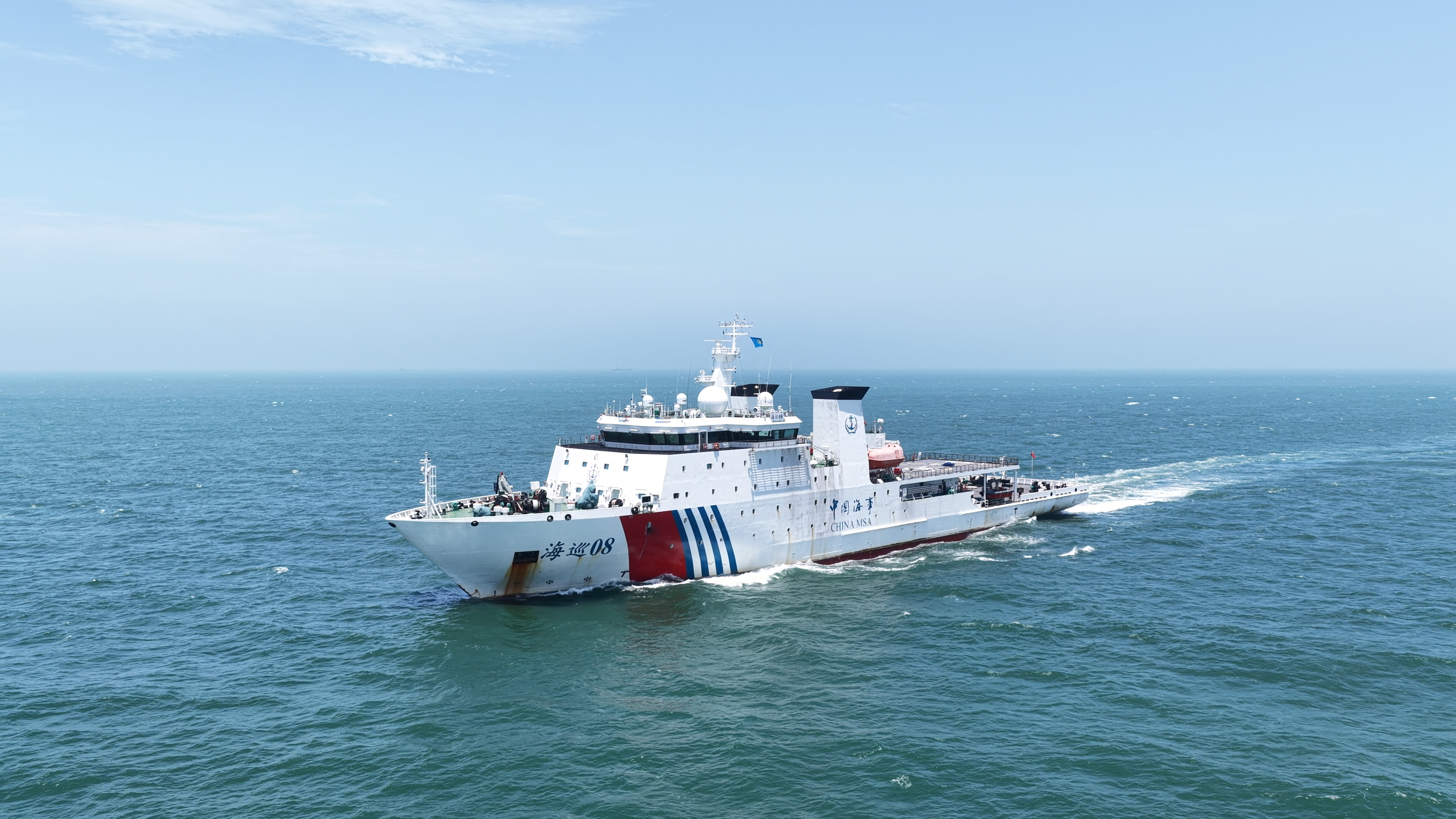
Serving enterprises and industry development requires the courage to tackle "tough challenges." When facing difficulties, the Shanghai Maritime Surveying and Mapping Center did not retreat but instead employed tangible measures empowered by technology.
In recent years, the trend of larger inland river vessels has increased the risk of bridge collisions. The nine cross-sea bridges under Xiamen Road and Bridge Group bear a significant daily traffic volume, while the ship traffic beneath them creates substantial anti-collision pressure.
"Bridges are stationary, but water flows, tide levels, and ships are dynamic. Traditional static data can no longer meet safety requirements," said Fan Minghua. To address this issue, the Shanghai Maritime Surveying and Mapping Center prioritized the collection and survey of data for these nine bridges as a key task.
To acquire the most accurate data on bridge clearance heights and pier scouring, the center introduced new technologies such as drone mapping. However, deploying new technologies was not straightforward. Drone flights required airspace approval, involving coordination with multiple agencies such as the military, civil aviation, and public security, making the process challenging.
"After numerous efforts, we successfully streamlined the approval process and conducted high-precision 3D scanning of the bridges using drones," Fan Minghua recalled.
The data collection for the nine bridges has now been completed, and updated nautical charts are being compiled. In the next phase, this data will be transformed into early warning information, providing real-time updates on the current clearance heights for passing vessels. This will equip the cross-sea bridges with "smart eyes," effectively reducing the risk of collisions.
In the seas off Rudong and Yancheng in Jiangsu, rows of white wind turbines stand tall on the water, forming a spectacular "marine forest." Beneath these giants lie a maze of undersea cables, the "lifeline" of wind farms but also potential "hazard points" for navigation safety.
"This isn't just a potential hazard; it has already led to real problems. Once, a ship anchored off the coast of Fujian accidentally broke an undersea cable while lifting anchor. Both the cable company and the power generation enterprise were impacted and filed claims with insurance companies. The insurers stated that without official nautical charts marking this information, they could not verify the sea usage boundaries, which led them to deny compensation. This incident underscored the urgent need for such information," said Fan Minghua.
The Shanghai Maritime Surveying and Mapping Center has actively liaised with wind power companies, using equipment like sub-bottom profilers to perform "CT scans" of undersea cables. "This equipment can penetrate seabed sediment, providing clear images of the path and depth of buried cables. Previously, we only had a 'general idea' of their locations; now, we know them with precision," Fan Minghua explained. Using this data, the center has helped companies precisely mark no-navigation zones and cable protection areas on nautical charts, ensuring both the safe operation of wind power enterprises and a clearly defined "safety line" for passing ships.
From supporting the construction of "Waterway Jiangsu" to fostering the development of "Maritime Fujian" and aiding Zhejiang's "Maritime Powerhouse" strategy, the service radius of the Shanghai Maritime Surveying and Mapping Center continues to expand. The center is exploring the use of new technologies like unmanned vessels and synthetic aperture sonar to provide forward-looking support for navigation safety in the far and deep sea.
The successful implementation of the service list is not just attributable to technology and services. Under the guidance of the "Ten Thousand Mile East China Sea Red Line" Party Building initiative, the Party Secretary of the East Navigation Center, Li Jieying, initiated projects led by Party branch secretaries. Through this initiative, the synergy across different stakeholders has been strengthened, ensuring the successful implementation of key tasks in the service list. The integration of Party building and business operations has deepened in frontline practices. It is this "red line" that ties disparate resources into a cohesive force, ensuring that each task on the list is effectively executed.
Dreaming Deep Blue: Leading the Future of Nautical Chart Development
The accelerated implementation of task lists has achieved one breakthrough after another. However, the Shanghai Maritime Surveying and Mapping Center has not stopped at its current achievements, instead looking further and deeper into the blue horizons.
Traditional electronic nautical charts are two-dimensional and static, whereas the S-100 standard electronic navigation data promoted by the International Maritime Organization is three-dimensional and dynamic. This new standard superimposes information such as water depth, tide levels, weather, and navigation warnings, offering ships a comprehensive sensory perception of their navigational environment.
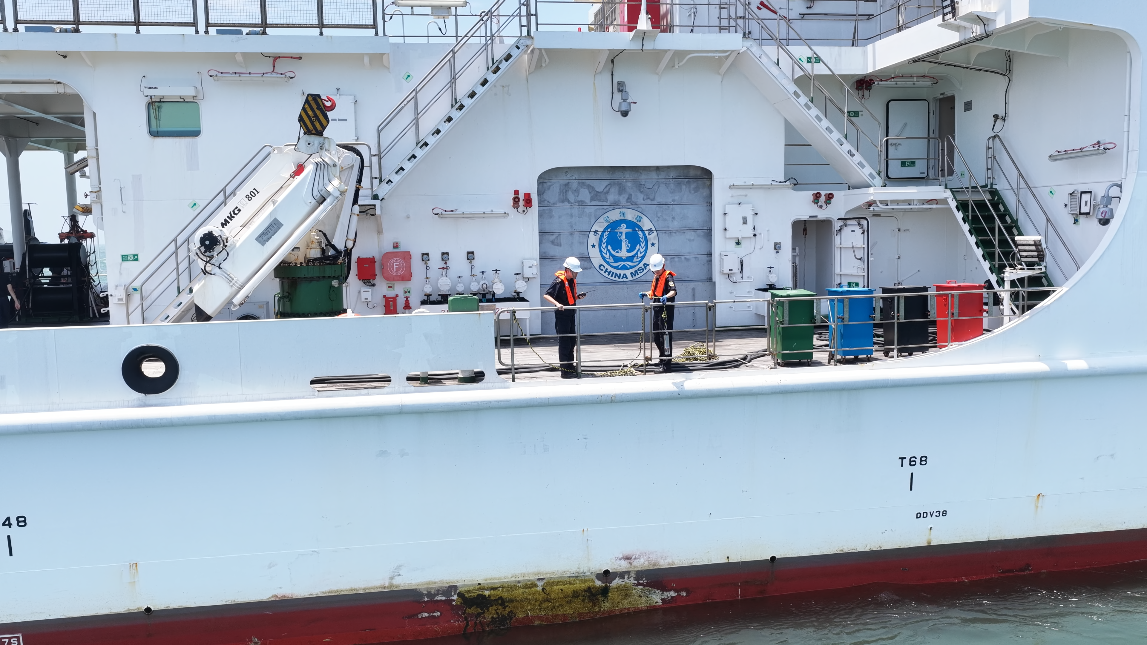
"This represents the future of ship navigation. Whoever masters this standard will hold the advantage," said Fan Minghua. Currently, the Shanghai Maritime Surveying and Mapping Center is actively participating in real-ship testing of S-100 standard data and navigation equipment. Onboard the "Ningyuan Electric Kun" ship, technical personnel installed the latest S-100 navigation equipment, providing high-precision S-102 depth data. Recently, the S-100 navigation equipment was tested in a sea trial from Jiaxing Xiushan Port to Ningbo Beilun Port. The "Ningyuan Electric Kun" ship experienced a comprehensive enhancement in its perception of the underwater navigation environment.
"It feels like the ship now has 'x-ray vision,' making the underwater terrain crystal clear," said Captain Wang Ting of the "Ningyuan Electric Kun."
It's worth mentioning that the Shanghai Maritime Surveying and Mapping Center has also established a dedicated "Marine New Business Task Force." This special team acts like a "special operations force," addressing challenges that go beyond traditional surveying and mapping boundaries.
"We are gradually establishing a surveying and mapping service system tailored to new marine industries. Using the S-100 standard as a starting point, we aim to make the brand of 'Chinese Surveying and Mapping' resonate more prominently across the deep blue seas," said Fan Minghua.
-
Shanghai Maritime Surveying and Mapping Center Provides Precise Services to Energize Enterprise and Industry Development4922
-
The main project for the Gezhouba shipping capacity expansion has commenced.4915
-
Fuzhou Port Jiangyin Port Area Connects the Sichuan-Chongqing Sea-Rail Intermodal Transport Corridor3985
-
The operation of the waterways in the Nanjing section of the Yangtze River during the National Day holiday was safe, stable, and orderly.4487
-
Strengthen the "four lines of defense" to fully ensure the safety of solid bulk cargo transport during the holiday by Tianjin Maritime Safety Administration4208